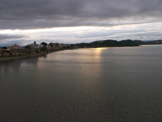
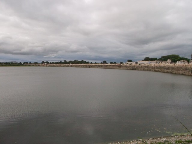
Rajsamand Lake is an epitome of didactic work done by the princely states for the well concern and revampment of society and economy, which could be easily traced by its sun gold essence of gleaming ethics and serenity. This is a massive lake with well built Ghats. It is one of the largest artificial lakes of medieval period. It is a place of small gust of pleasure, where sun shades the waters the lake, precisely pedestrianized and stuffed with beautiful arrays of silver linings is bestowed to the town Rajsamand. The lake contours about 1.75miles wide, 4 miles long and 60 feet deep, having coordinates 25°4’14″N 73°53’15″E.
The fabulous site of this tarn was the result of a dam constructed across the river Gomati, Kelwa and Tali was debuted by Maharana Raj Singh I in the years 1662-1676 with elaborated structures of Jharokas and jettings. The catchment area of the lake is approximately 508 square kilometers.
Why was it Constructed?
The major reason for construction of Lake Rajsamand was to overcome the problem of drought and to render employment for victims of a widespread drought and famine in the year 1661, and to provide canal irrigation to local farmers. It is among the oldest relief works done in Rajasthan. The digging of this foundation began on January 1, 1662. Construction of the actual dam began on January 14, 1676. Mukund Jaggatnath was one of the main architects. It was built in Indo –Persian style and materials used for the construction were stone, rubble and masonry. River Gomti is the main supplier of water to Rajsamand Lake.

Architecture & Design:
On the bank of the Dam three mandaps were constructed out of white marble, each mandap has three chokies. The first mandap has very interesting scenes where a newly wed girl is departing from her husband’s house. The villagers are seen in sad postures. It is shown that the husband is dragging the wife; the camel of the camel cart is also seen in a sad posture. The second mandap has a scene of animal fighting. The fight of Elephant with Horse is depicted.
On the southern end of this lake their lies a large embankment 183 m. long and 12 m. high, known as Nauchowki or the nine pavilions. It is believed that the dam measures nine hundred ninety nine feet in length and ninety-nine feet in breadth. Every step measures nine inches and there are nine white marble cenotaphs build on the dam. Each of these cenotaphs is nine feet in height and is at nine degree angle from each other. This embankment has marble terraces and stone steps touching the lake and is dotted with five toranas or weighing arches and chhatris (cenotaphs). The colonnaded pavilions are decorated with depictions of the sun, chariots, gods, birds and dancing girls, exquisite carvings that are claimed to be unique in India. It is overviewed by the Dwarikadhish temple and from the Kumbhalgarh Fort the vista it glitters with gushing water is as captivative as scarlet is. This place is also considered to be the one where Maharana Raj Singh and his descendents organized the event of Tuladan: they were weighed in jewels and gold, the cash value of which was distributed among Brahmans for the construction of temples and tanks for the welfare of the people. The history of Mewar is also inscribed here in 107 stanzas, on its 21 marble stones known as ‘Raj Prasasti‘ an epic by Ranchhor Bhatt. It has also been acclaimed as one of the longest etchings in India. The epigraph has given lot of historical, commercial, civil, educational, weighing system etc. to carve out the history and to bring the different shores of historical facts together. The Rajsamand was also the scene of a desperate battle in the late 17th century between Mewar and the Mughal emperor Aurangzeb. The Mugals destroyed the torans and ruined all the carvings on the mandap. During World War II, Rajsamand Lake was used as a seaplane base by Imperial Airways for about six years.
There was no provision for sluice gates, at the time of construction of the lake. Irrigation water was supplied by means of a lift irrigation system. The first sluice gate canal was built by the British people, it is 8 km long, and after independence in the 1960s, an ambitious second one was added, which was 35 km long.
Preposterously, in the year 2000, the lake came into the verge of its existence it was just a barren land of rocks and weeds and residents used the Nand Sagar Lake located about 15 km upstream as a substitute then fortunately on the passage of time the monsoon refilled it. Now the Lake Rajsamand has been used for irrigation and its canal network services are used to provide water to 42 villages covering an area of 7,284 hectares. The villages viz.: Peepli, Mohi, Kuwariya, Bhava, Rupakheda etc. are the regular connectors of this water.
The charm exuded by the unparalleled beauty of the Rajsamand Lake is infectious and the tourists are attracted to this place. It has genuine beauty of its own, especially when women clad in hues of yellow, green, purple accommodate the lake on the festive of Gangaur and Teej. The provocative thing of this place is its purity of water, the shimmering and dancing rays of sunbeams of the settling god and the colour changing water beckons the tourists to its charm by over whelming their hearts.
Photos By : Hemant Paliwal


